 Growney
How to teach a child to read a map. Games at home and outdoors

Children see maps in the park, on the Underground and on their parents' phones. On paper, though, there are just lines and coloured patches, and it is not obvious what they have to do with the street outside. Reading a map can be learnt through play, and the best place to start is a child's own bedroom.
The answer in one sentence
Young children understand more than you think
The psychologist Judy DeLoache came up with a simple experiment. She hid a tiny toy behind a miniature sofa in a scale model of a room, then asked a child to find a matching full-size toy in the real room. Three-year-olds went straight to the sofa. Two-and-a-half-year-olds were puzzled and did not know where to look. DeLoache concluded that memory was not the problem. They had not yet grasped that the little room stood for the big one.
So, first of all, a map is a puzzle about symbols. A sheet of paper stands for a place, a small square stands for a house. Once that idea clicks, everything else gets easier. That is why a child's first maps work best for familiar places, where every symbol can be checked by hand straight away.
The psychologist David Uttal and a colleague showed children a map of a playhouse with six rooms. Children who studied the map first learnt a route through the rooms faster than children who had not seen it. Uttal writes that maps let us think about a space without walking around it.
Four things every map has

A view from above. On a map, a house is a roof and a tree is a circle. It helps if the child imagines being a bird or a drone.
The key. This is the small table at the side that explains the symbols. The Royal Geographical Society suggests schools teach the key together with symbols and scale.
The compass rose. The little star with letters shows the points of the compass. It tells you how to turn the map so that it lines up with the real street.
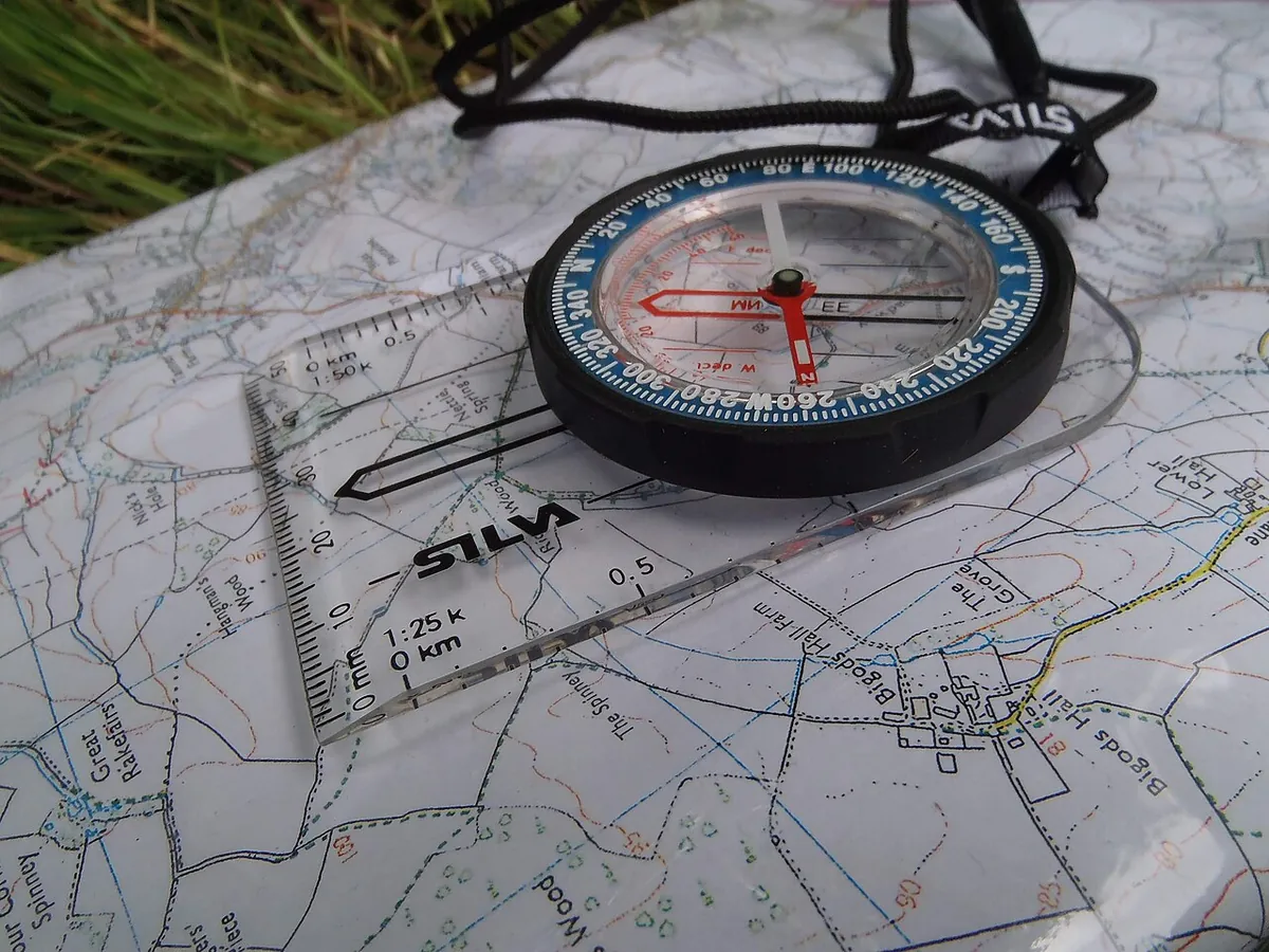
The scale. It tells you how much smaller everything is. On an Ordnance Survey Explorer map at 1:25,000, one centimetre is 250 metres. The blue grid lines are 4 centimetres apart, so each square is one kilometre. A child only needs to know that one square is roughly a walk to the next park and back.
Games that teach map reading
- A map of the bedroom. Ask your child to draw their room from above. The bed becomes a rectangle, the rug a circle. Then invent symbols and a key together.
- Treasure by map. Hide a toy and mark it with a cross on that map. Your child searches with the map in hand. Next time, they hide it and you search.
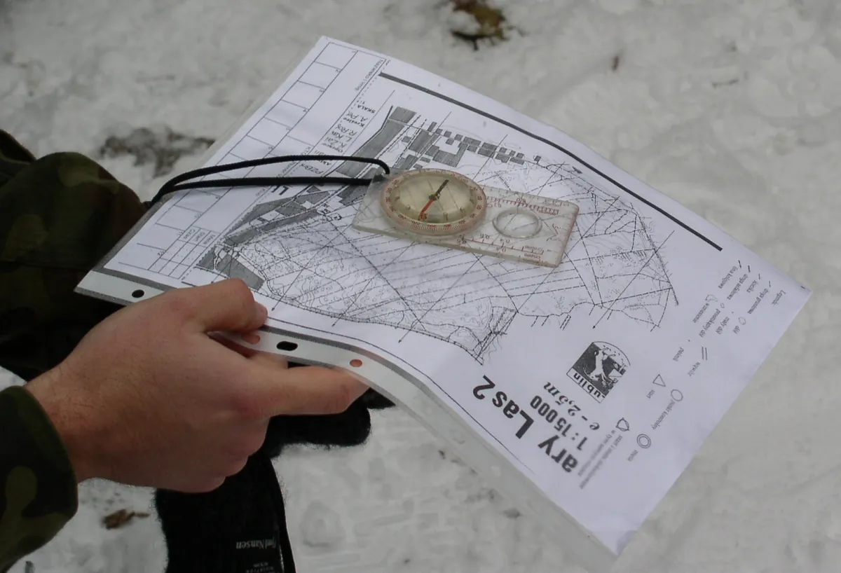
- Turn the map. On a walk, take a map of the park or the neighbourhood. Find the spot where you are standing and turn the paper so the path on the map points the same way as the real one.
- Count the steps. Pace out the hallway, then find it on a plan of your home. That is how a feel for scale begins.
- A map of the way to school. Draw what you pass on the way together: the chemist, the zebra crossing, the big tree. After a week, your child will tell you what you left out.
The oldest map of the world is made of clay
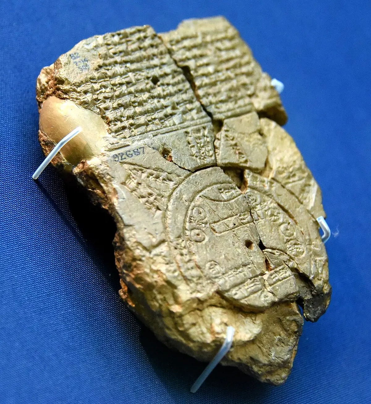

The British Museum holds a clay tablet with the Babylonian Map of the World. It was made more than 2,500 years ago and found at Sippar, in what is now Iraq. The world is drawn as a circle, and around the land runs water that the Babylonians called the Bitter River.
Maps still do not always show the world accurately. On the familiar world map, Greenland looks almost as big as the whole of Africa. In fact, Africa is about 14 times larger. A round Earth is hard to flatten onto a sheet of paper, so the lands near the poles get stretched. That is why mapmakers keep inventing other ways to draw the world. On the Equal Earth map, for example, Africa rightly looks far bigger than Greenland.
Next time your child asks where Greenland and Africa are, show them on a globe. It is round like the Earth, so it stretches nothing.